Seven Days along the Via Alpina | Central Switzerland

The classic Via Alpina is a network of long-distance hiking trails across Europe’s eight alpine countries, traversing over 5 000 km. It was created to encourage more movement between the Alps and to share the cultural heritage unique to this mountain habitat.
I moved to Switzerland just over two years ago from South Africa. New, alone, and at the brink of a global pandemic, I turned to the mountains to ease my transition.
Hiking in the Swiss Alps was a big part of making my home in this country. By slowing down, I have the time to absorb my new setting, interact with people and engage in Swiss traditions.
I am doing the Via Alpina to keep exploring Switzerland on foot and learn more about life in the Alpine regions. I wish to learn about the people in this habitat, whose lives are closely tied to nature for their livelihood, and share these stories.

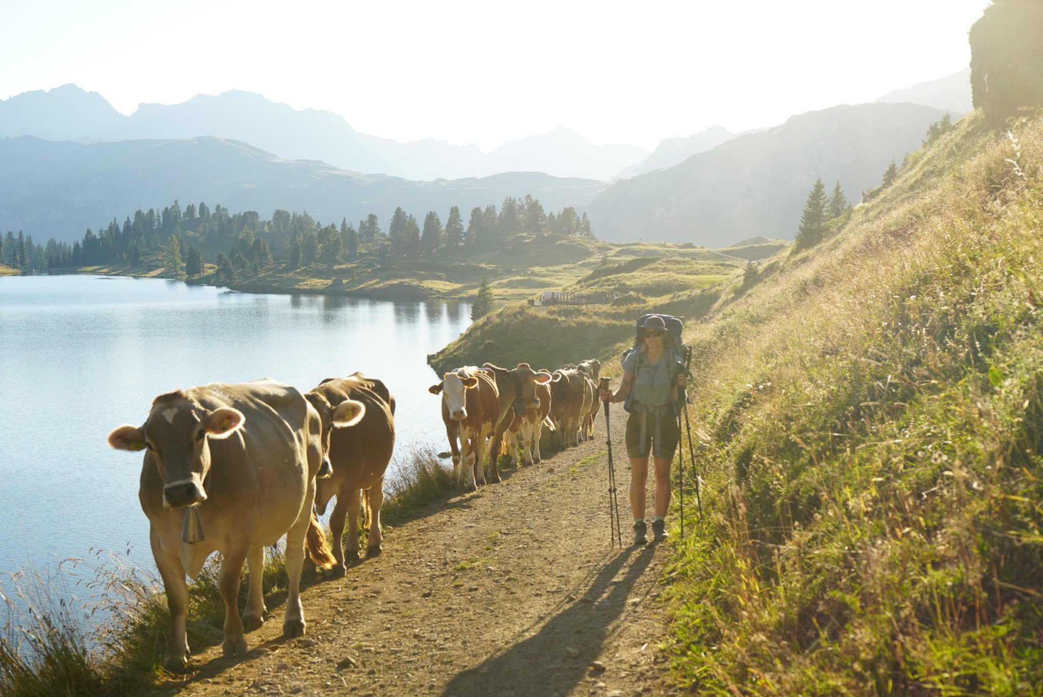
Engelberg to Tannensee
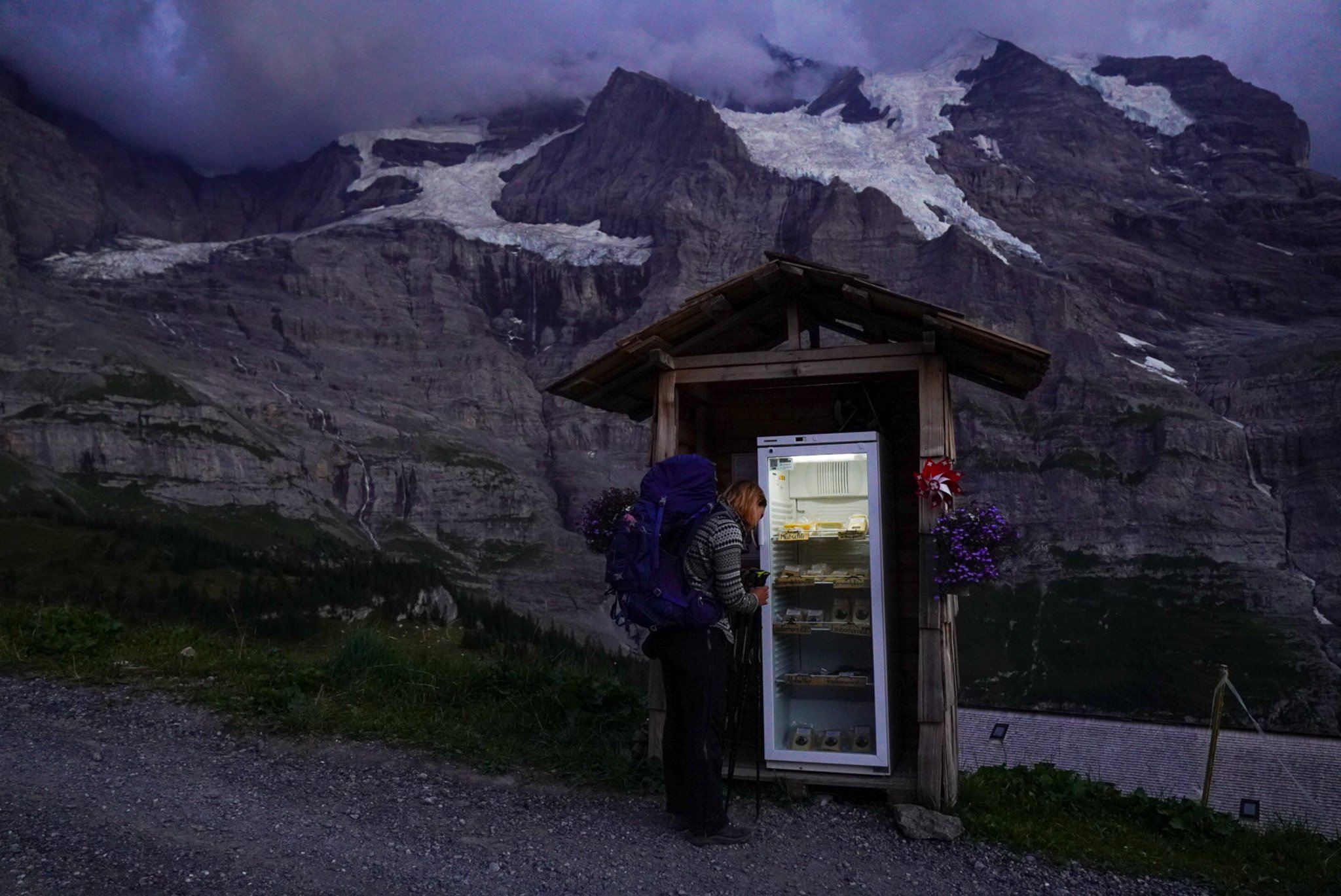
And so it begins: our seven-day trek along Switzerland's Via Alpina trail between Engelberg and Griesalp. Joined by my close friend Oda, we spent the first few days hiking between the four lakes and sleeping in the presence of glaciers. We climb over Jochpass from Engelberg and sleep at Tannensee to the sound of cowbells.
We set off from Engelberg mid-morning and push our way up to Truebsee. Our backs bake in the sun, already straining under our 16 kg packs, but we take refuge in the evergreens skirting the steep slope. The climb continues up to Jochpass with Titlis towering to our left.
It is a strong start and offers a taste of what the next seven days would be like: tough. But the weight of my backpack is also reassuring, and I relax knowing that I am prepared for our trek ahead.
Descending to Melchsee-frutt, we glimpse the three lakes in the late afternoon sun. Down below, clouds of dust are kicked up by a moving heart of cows. Their bells are a sign of Switzerland that would follow us this entire trip.
ROUTE DETAILS
Start: Engelberg
End: Lake Tannensee
Route: Engelberg – Jochpass – Tannensee
Distance: 16.4 km
Time: 6h 30’
Elevation gain: 1 494 m / loss: 457 m
(lowest point: 888 m / highest point: 2 280m)


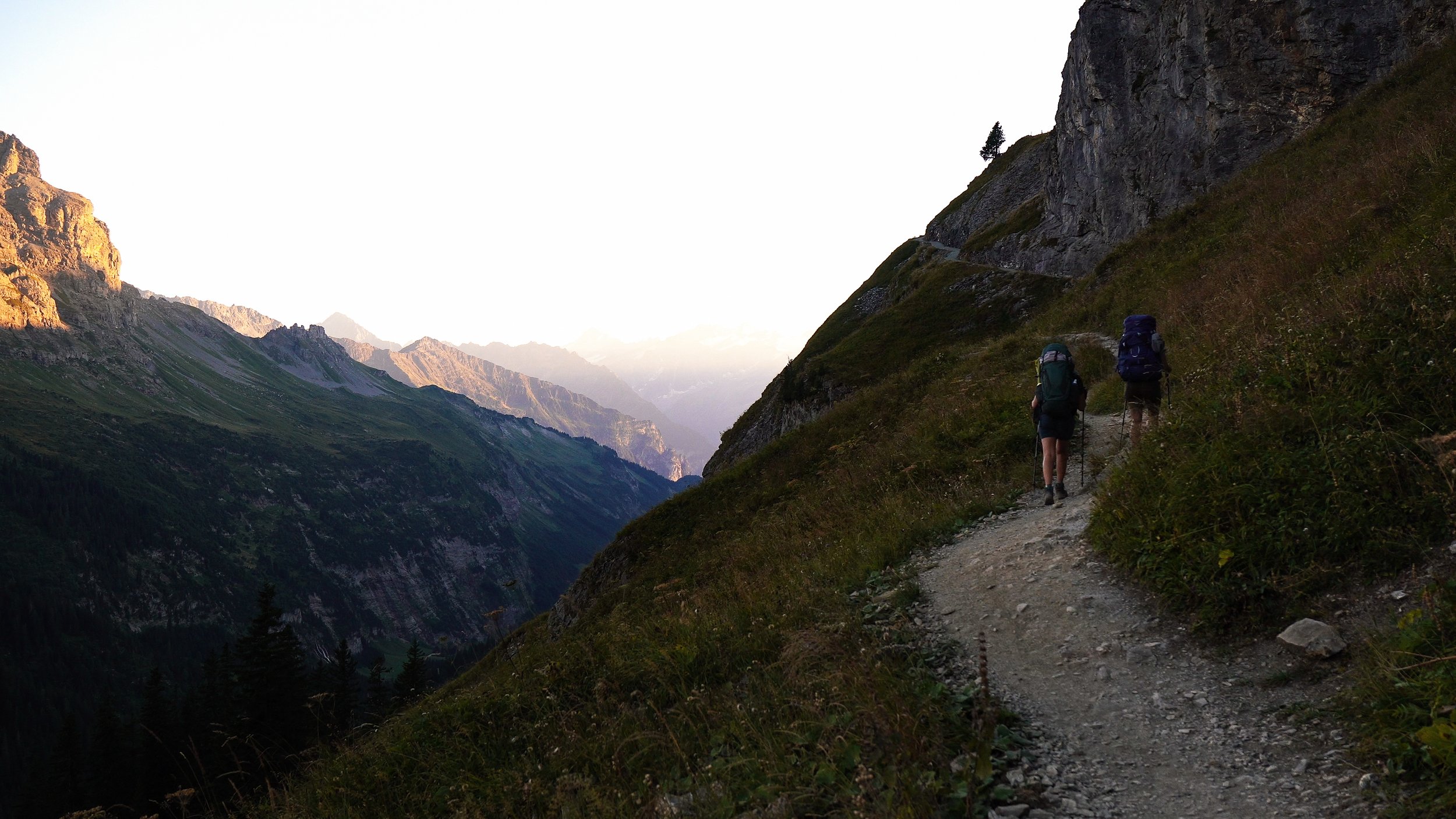
Tannensee - Meiringen
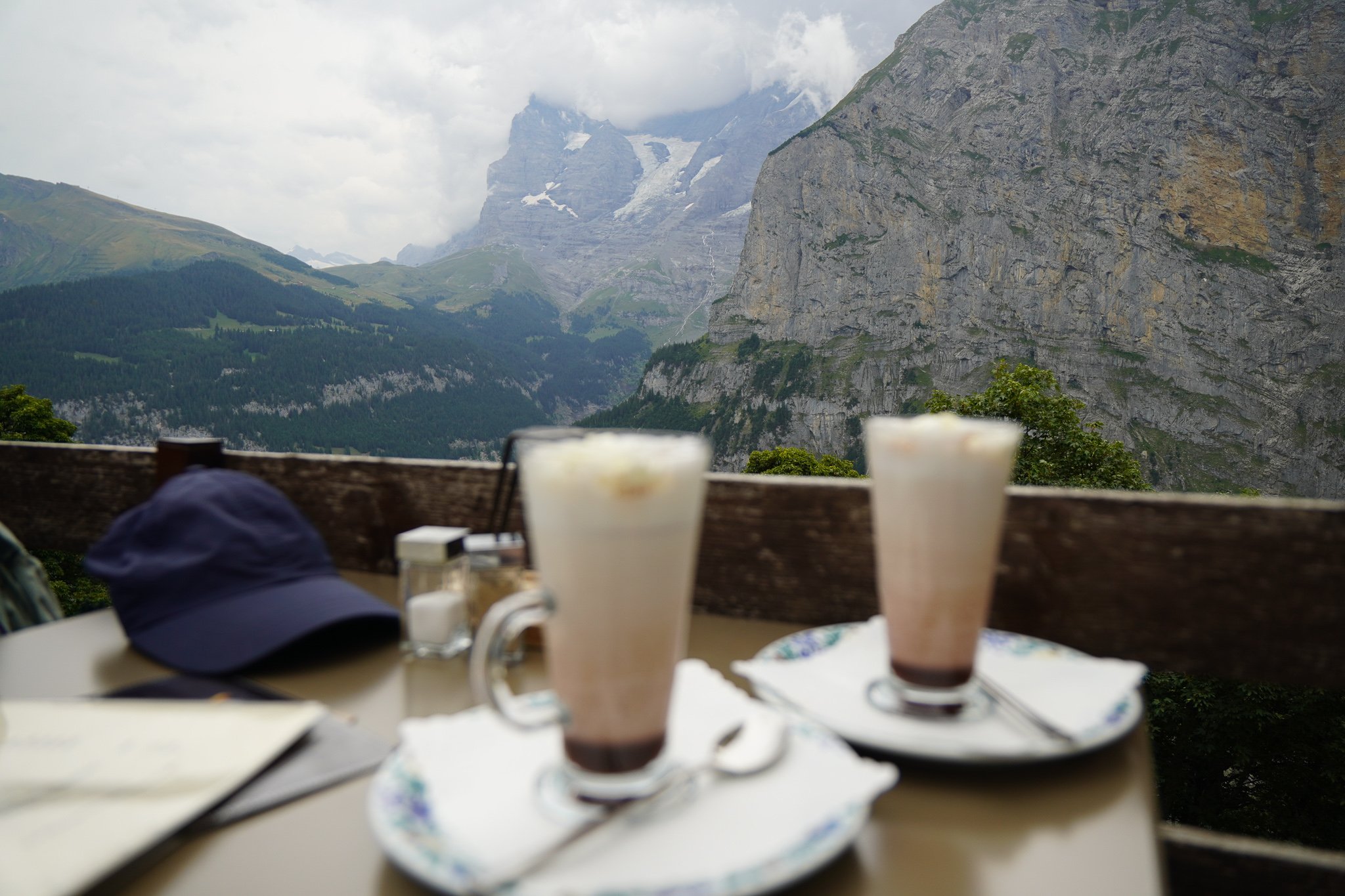
A long day wandering over Balmeregghoren with views of Eiger, Mönch and Jungfrau to reach the campsite near Meiringen. This high alpine route boasts beautiful flowers and a long traverse before a steep ascent into town.
ROUTE DETAILS
Start: Tannensee
End: Meiringen
Route: Tannensee – Balmeregghoren – Meiringen
Distance: 15.7 km
Time: 5 hours
Elevation gain: 464 m / loss: 1 046 m (lowest point: 1 088 m / highest point: 2 250m)


Meiringen - Grosse Scheidegg
The climb to Grosse Scheidegg leads up through the valley in view of the Reichenbach Falls. The Wetterhorn remains ever-present on the left of the valley, and glaciers crown the mountains. Even though we hiked up in a fog, the dramatic landscapes were incredibly moving.
ROUTE DETAILS
Start: Meiringen
End: Grosse Scheidegg
Route: Meiringen - Grosse Scheidegg
Distance: 17.73km
Time: 6h 30’
Elevation gain: 1 394 m / loss: 456 m (lowest point: 602 m / highest point: 1 962m)


Grosse Scheidegg - Grindelwald - Kleine Schediegg
A new way to see one of Switzerland's most scenic and touristic valleys and villages. We hike down from Grosse Scheidegg with a view of the Wetterhorn and the Upper Grindelwald glacier on our left into Grindelwald. Then comes the steady ascent to Kleine Scheidegg up a wide path.
ROUTE DETAILS
Start: Grosse Scheidegg
End: Kleine Schediegg
Route: Grosse Scheidegg - Grindelwald - Kleine Schediegg
Distance: 21 km
Time: 7h 00’
Elevation gain: 1 199 m / loss: 1 304 m (lowest point: 943 m / highest point: 2 061m)


Kleine Scheidegg - Lauterbrunnen - Bryndli
This next section went from Swiss town to Swiss village. Our first stop is at Wengen for a coffee and gipfeli; then, we drop further down into Lauterbrunnen, the valley of a thousand waterfalls. We push through the dense pine trees to get to Murren and climb further into the Gimmelenweidli Valley.
It was an experience I couldn’t even dream of as a kid from the Klein Karoo in South Africa.
In doing all of this, I realised that I could put myself in the way of adventure and in the way of wonder. It’s an act of choice. And I’m so excited to see what I choose next!
ROUTE DETAILS
Start: Kleine Schediegg
End: Spillboden
Route: Kleine Scheidegg - Lauterbrunnen - Bryndli
Distance: 17.7 km
Time: 6h 30’
Elevation gain: 1 127 m / loss: 1 195 m (lowest point: 797 m / highest point: 1 800m)


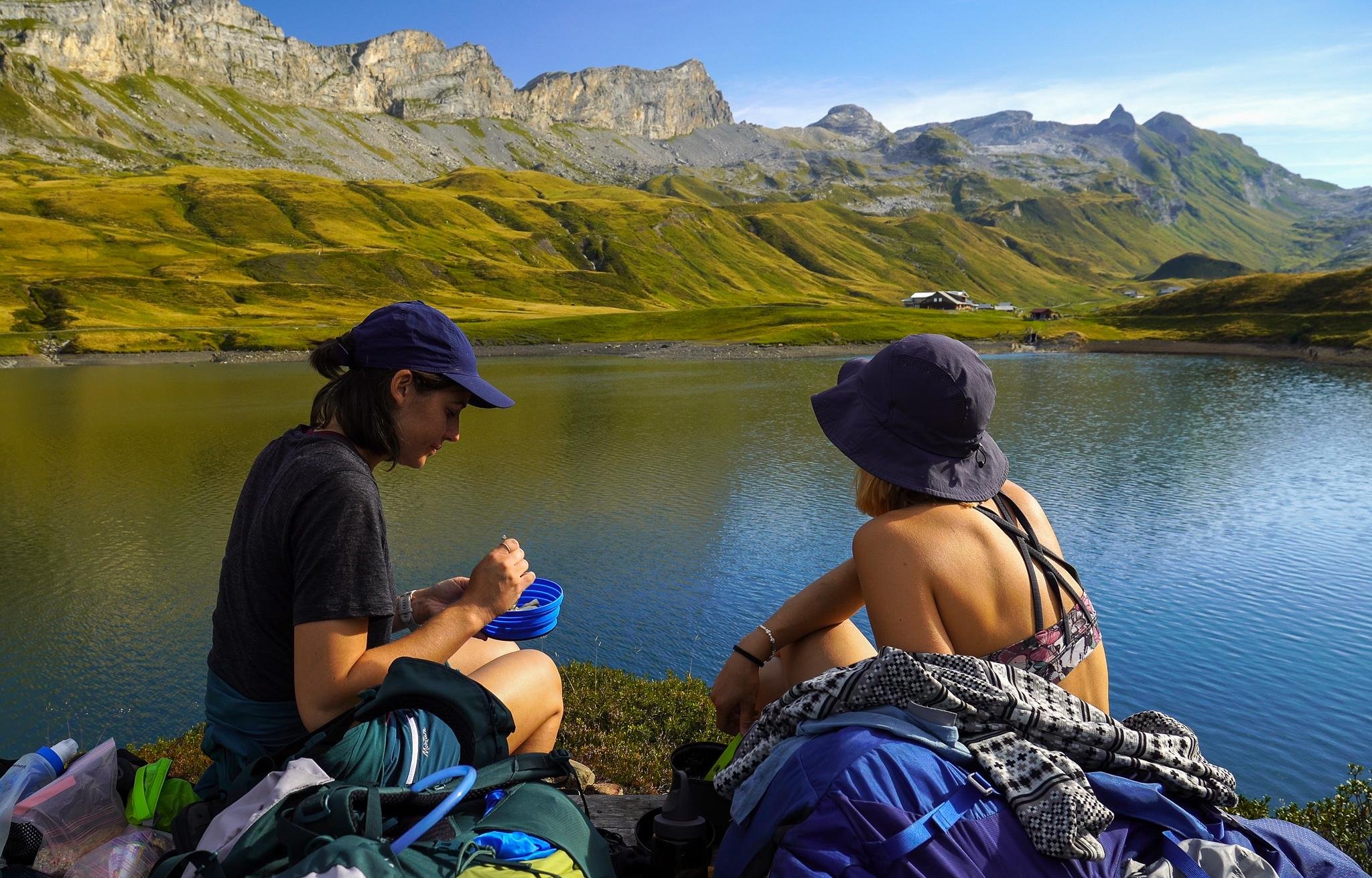
Bryndli - Rotstockhütte
This was the shortest stage along the Via Alpina as we prepared for a rest day at Rotstockhütte. Our two-hour hike along the slopes of Wasenegg provided beautiful views into the Sefinental Valley.
Adventures aren’t as daunting and dangerous as I thought they needed to be or about good guys and bad guys. Adventures are about doing something unusual or something exciting. It’s a change from the daily routine and trying something new.
So on winter mornings, I head to the hills to watch foxes frolic in the snow. Or I wake up early to catch the sunrise. Girls’ night out(side) has also become a special tradition. Forest bathing is my new hobby.
I’ve learned to hike alone, swim in lakes fed by glaciers, and make a pretty good cup of coffee outside.
ROUTE DETAILS
Start: Brybdli
End: Rotstockhütte
Route: Bryndli - Rotstockhütte
Distance: 3.8 km
Time: 1h 30’
Elevation gain: 265 m / loss: 1 m (lowest point: 1 791 m / highest point: 2 057 m)


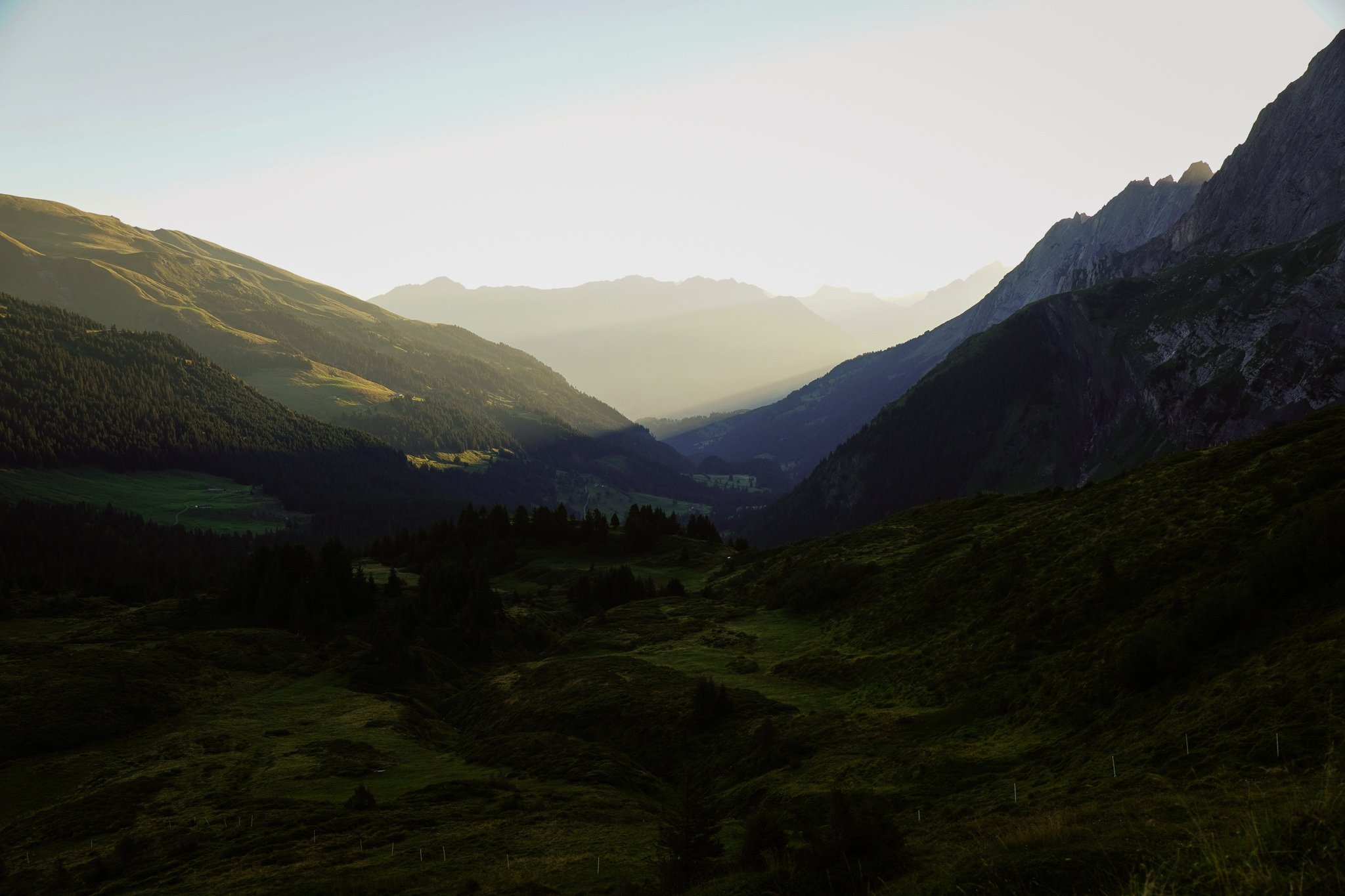
Rotstockhütte - Sefinafurgga - Griesalp
We trekked over Sefinafurgga in the rain, which is not recommended. The slopes are exposed for the last few hundred metres up and down, making it very slippery. However, we were rewarded with views of waterfalls and rivers springing up everywhere. We had to make a few river crossings, so be aware of the weather when you hike it.
Also, the railing to get down from Sefinafurrga is damaged, so take it slow.
Adventures aren’t as daunting and dangerous as I thought they needed to be or about good guys and bad guys. Adventures are about doing something unusual or something exciting. It’s a change from the daily routine and trying something new.
So on winter mornings, I head to the hills to watch foxes frolic in the snow. Or I wake up early to catch the sunrise. Girls’ night out(side) has also become a special tradition. Forest bathing is my new hobby.
I’ve learned to hike alone, swim in lakes fed by glaciers, and make a pretty good cup of coffee outside.
ROUTE DETAILS
Start: Rotstockhütte
End: Griesalp
Route: Rotstockhütte - Sefinafurgga - Griesalp
Distance: 10.5 km
Time: 4h 15’
Elevation gain: 688 m / loss: 1 314 m (lowest point: 1 1 389 m / highest point: 2 612 m)


Soninke Combrinck
I write about connecting with nature as I chase my own adventures around the world.


